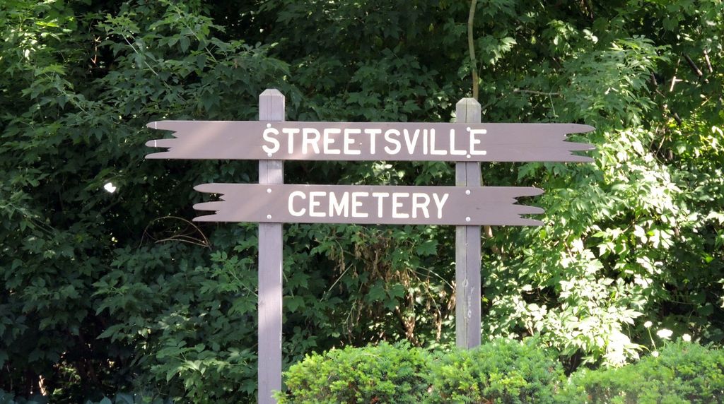
Streetsville Public Cemetery
Mississauga, Peel Regional Municipality, Ontario, Canada
About
-
Get directions 1786 Bristol W RD
Mississauga, Peel Regional Municipality, Ontario CanadaCoordinates: 43.58026, -79.70357 - Cemetery ID:
Members have Contributed
Advertisement
Photos


Streetsville Public Cemetery is located on the South side of Bristol Road / Main Street between Mississauga Road / Queen Street South and Creditview Road. In January 1890, a public meeting was called by John Graydon, Reeve of Streetsville, at the request of about 100 citizens, "for the purpose of arranging and securing another place for the burying of the dead of this village and vicinity. "The goal was to have a burial ground for all of the religions within Streetsville. As a result of the meeting, held in the first week of February 1890, the Streetsville Cemetery Company Ltd. was formed. On March 20, 1890, the Company wrote to the Village Council asking for approval to establish a cemetery on the east side of the Credit River on property formerly owned by George Doherty and his wife Leonora Street who inherited that part of Lot 3 from her father Timothy Street. In May 1891 the Provincial Board of Health approved the site and the cemetery was surveyed in the Spring of 1892.
The first burial appears to have been at the end of July 1892 -- a five year old child, Nathaniel William (Willie) Brown who drowned in the Credit River at Barberton. Multiple stones within the cemetery show dates of death before Nathaniel Brown's, but it is unlikely that there would have been burials before the survey date. It is more likely that these individuals are buried elsewhere with their names being added to the family stone, or it is also possible that they were moved into the cemetery after its opening and reburied here. There is some evidence that points to individuals from Streetsville Memorial (Pioneer, Scotch Burying Ground, St. Andrews Presbyterian) cemetery being moved by their families to the new family plot in Streetsville.
Nearby cemeteries
Mississauga, Peel Regional Municipality, Ontario, Canada
- Total memorials430
- Percent photographed78%
- Percent with GPS1%

Mississauga, Peel Regional Municipality, Ontario, Canada
- Total memorials317
- Percent photographed88%
- Percent with GPS1%

Mississauga, Peel Regional Municipality, Ontario, Canada
- Total memorials219
- Percent photographed79%
- Percent with GPS1%

Mississauga, Peel Regional Municipality, Ontario, Canada
- Total memorials241
- Percent photographed93%
- Percent with GPS0%
- Added: 17 Nov 2003
- Find a Grave Cemetery ID: 1973858

Cemetery Photos
This is a carousel with slides. Use Next and Previous buttons to navigate, or jump to a slide with the slide dots. Use Escape keyboard button or the Close button to close the carousel.


Success
Uploading...
Waiting...
Failed
This photo was not uploaded because this cemetery already has 20 photos
This photo was not uploaded because you have already uploaded 5 photos to this cemetery
This photo was not uploaded because you have already uploaded 5 photos to this cemetery
Invalid File Type
Birth and death years unknown.
1 photo picked...
2 photos picked...
Uploading 1 Photo
Uploading 2 Photos
1 Photo Uploaded
2 Photos Uploaded
Size exceeded
Too many photos have been uploaded
"Unsupported file type"
• ##count## of 0 memorials with GPS displayed. Double click on map to view more.No cemeteries found